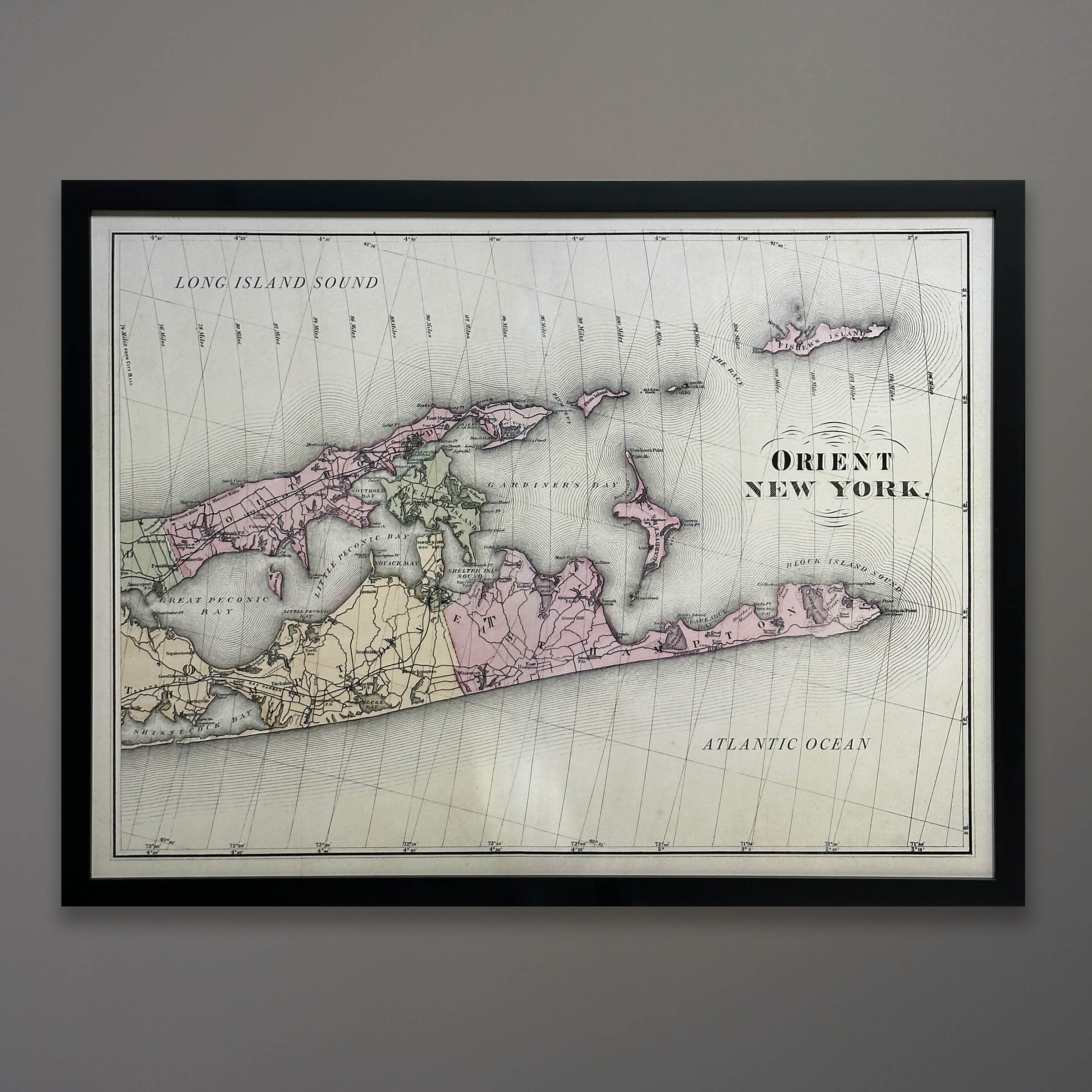
22-360 Orient New York 1893 Beers Map 20×26
$395.00
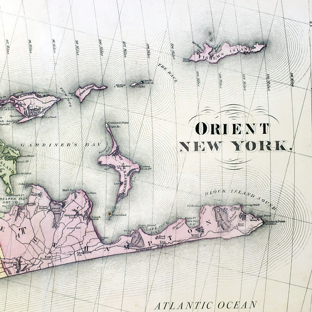
Offered here is a fine art reproduction of a map from the Beers Atlas of Long Island, 1893. The map shows Orient New York and the surrounding North Fork and South Fork of Long Island. East Hampton, Shinnecock Canal along the South facing the Atlantic Ocean. Shelter Island is between the Forks. Southold, Greenport, East Marion all the way to Orient Point are the North Fork towns facing Peconic Bay and the Long Island Sound. Fishers Island is the easternmost island. The detail is superb. All small lettering is crisp and easy to read.
The original map is five pages wide showing the entirety of Long Island. We cropped the last two panels and adjusted the borders, removed the folds, and re-arranged the lettering for display as shown.
The map is printed on matte archival paper using fade-free 12-color archival inks for crisp contrasts and 100-year longevity. It is framed in black wood with a UV acrylic face. Overall framed size is 20×26 inches. Two-week lead time for frame.
Out of stock
You may also like…
-
24-298 Orient New York 1893 Beers Map 20 x 26
$395.00 -
22-307 Orient New York 1893 Beers Map 32×41
$795.00


