


open 12 to 6 daily

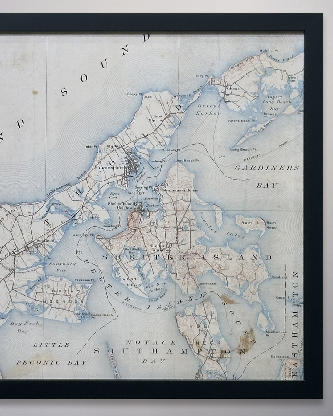
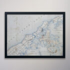
25-121 Shelter Island Map 20 x 15 Circa 1910
$295.00
A partial map which shows the whole of Shelter Island. The map was produced in 1910. Fine art, gallery-quality pigment print on matte archival paper using fade-free 12-color archival inks for crisp contrasts and 100-year longevity. Other sizes available.
Related products
-
8-129 Very Large Tapered Vase
$135.00 -
8-116 Hollywood Style Silvered Glass Vase with Cut-outs
$59.00 -
8-070 Modern Scandinavian-style Cool Gray Vase
$49.00 -
8-210 Large Tapered Clear Glass Vase
$65.00